A church tower in Herefordshire, a standing stone in Argyll, a wayside cross in Cornwall. Draw a ruler across a map of Britain and you can place them on the same straight line. According to ley lore, that is no accident. To its critics, it is what happens when you join dots long enough within a landscape that has been marked, built on and rearranged for six thousand years. Both views deserve a hearing, and this is where the ley line question starts to get interesting.
The man who noticed the lines
The modern ley line idea begins with Alfred Watkins, a Herefordshire flour miller, brewer and keen antiquarian. In June 1921, riding near Blackwardine with a map in his mind rather than his hand, he became convinced that prehistoric sites and old crossroads in the county sat in deliberate straight lines across the landscape. He called them "leys" or "ley lines" — a name borrowed from old place-name elements such as Ley, Lea and Leigh, meaning a clearing or a cleared track.
Watkins published The Old Straight Track in 1925. His leys were practical, not mystical: routeways supposedly marked by mounds, moats, beacons, hilltops and sighting stones that allowed travellers, traders and surveyors to move in straight lines across country. He gathered readers — among them some prominent names — but professional archaeologists of the day were sceptical, and they were sceptical for reasons that still hold.
From old paths to earth energies
Watkins was a dignified origin story, but the leys escaped him almost immediately. Through the mid-twentieth century they were picked up by dowsers, wandering photographers, amateur astronomers and, in the 1960s, by writers who folded them into the wider current of "earth mysteries". The claims multiplied:
- Earth energy — leys as channels or currents of a subtle force, detectable by dowsing rods or the human body.
- Spirit roads — dead-straight routes travelled by the dead, by saints or by fairies, preserved in folklore and churchyard paths.
- Celestial alignments — sacred sites set out to mirror the sun, moon or a constellation.
- Routeways of power — commerce, communication and pilgrimage fused into one vast, forgotten network.
- UFO corridors — leys as flight paths or landing markers for visitors from elsewhere, a notion popularised in the 1950s and 1960s.
John Michell's The View Over Atlantis, published in 1969, dragged the leys into the counterculture and compared them to the feng shui lines of China. New magazines, new pilgrimages and new medicines followed — at Glastonbury and Avebury the idea never went away.
Why the sceptics won
The archaeological case against leys is not one of sneering, it is one of method. Three problems have never been answered.
Mountains have a lot of straight lines on them
If you place enough points on any map, straight lines appear between some of them. A study that placed random points on a map of Britain and joined the alignments found the same density of "leys" as one made from genuine historic sites. In other words, you can create leys anywhere, including places with no history at all.
The dots are not all ancient
A ley through a Bronze Age barrow, a medieval church and a Victorian folly is a straight line but not a revelation. It is a line through three unrelated things. In practice most ley lines depend on the same handful of convenient points: high ground, towers, crossroads, moats and marks of any age. And the surviving ancient sites are exactly the ones standing on high, visible ground, which is why they line up so readily.
Linear features get built along the same routes
Ancient trackways, Roman roads, packhorse routes, parish boundaries and even motorways follow ridges, passes and dry ground. They naturally run in straight sections. So the land really does contain straight lines; the leap comes in claiming one ancient purpose for them.
Why it refuses to die
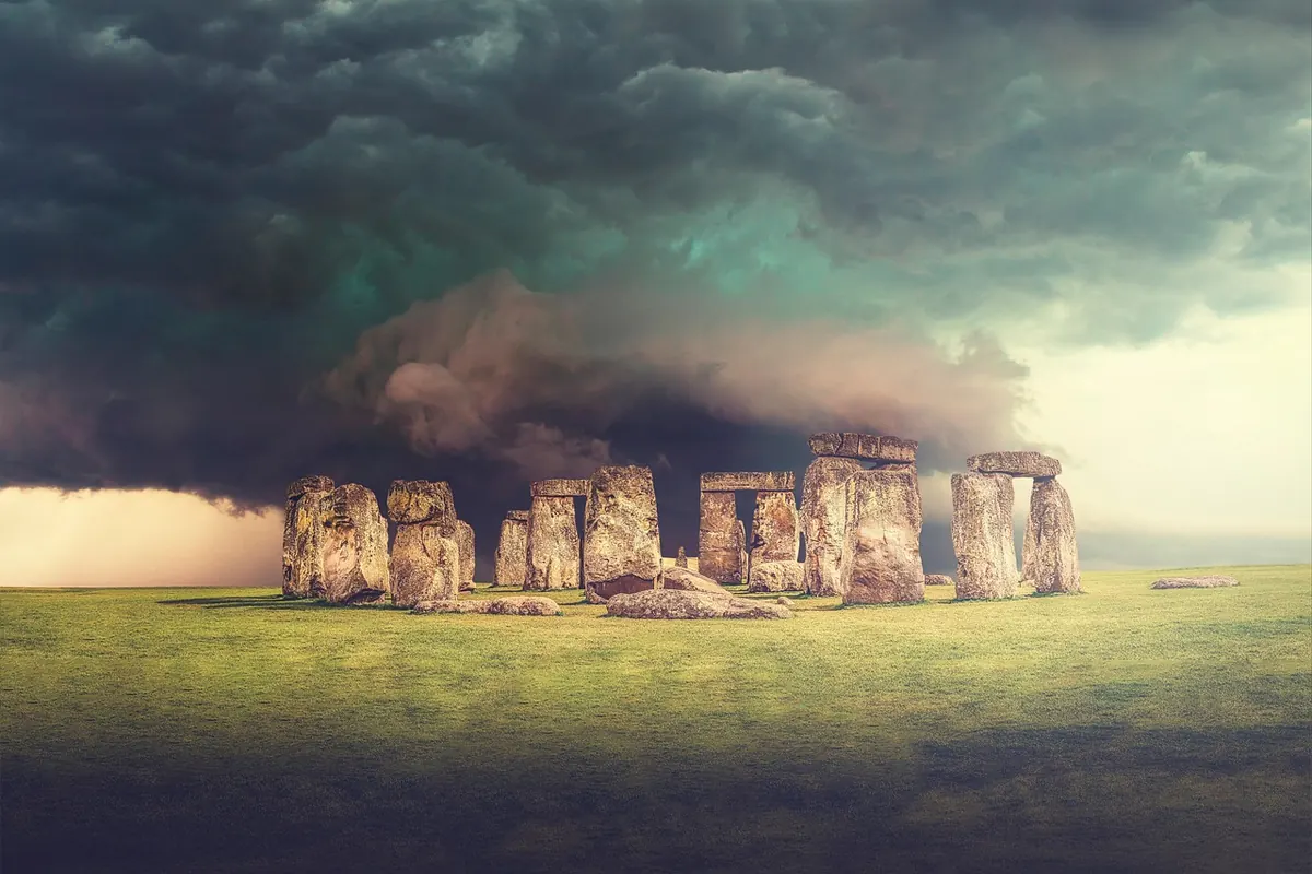
Watkins was not a crank and the puzzle of how prehistoric people perceived distance, direction and marking is entirely serious. Parts of Bronze Age ritual landscapes such as Avebury and Stonehenge show alignments that seem meaningful: circles laid out on sunrises, entrances aimed at risings and settings, monuments placed in relation to each other and to water. That is a real, well-supported field of research — it is ley theory's respectable cousin, and it does not need a national network of invisible roads to work.
The folklorists' explanation for the persistence of the ley is simpler. A straight line drawn across a map by a person with a theory behind it makes the ordinary countryside feel significant. It is also free, low-tech and endlessly repeatable: a map, a ruler and a morning's curiosity. That is the same impulse that gave Britain everything from holy wells to ghost-hunting.
How to evaluate a ley line claim
If you come across a leys "discovery", there are quick tests before you accept or dismiss it.
- Get the right map. Use an Ordnance Survey at 1:25,000 or 1:50,000. A tourist map with symbols scattered about it will create lines everywhere.
- Use recorded sites. Take positions from a Historic Environment Record, a local archaeological society or a definitive list published by a trusted authority. Then stick to the actual coordinates.
- Drop or keep? Does the line pass through each site or merely near it? Slightly misaligned or roughly along a feature is not an alignment.
- Test your patience. Random points can line up on any map, so do your own control: choose the same number of random spots in the same landscape and see whether they form lines too.
- Check the surrounding. Are there obvious explanations such as a Roman road, a boundary or a river crossing? These are much better documented and usually more interesting than a theory.
- Ask what the claim is really saying. And any claim of energy or ancient surveying needs evidence from every site involved.
A reasonable way to spend a Sunday
Use leys as a starting point, not a conclusion. Take a leaf from Watkins' notebook — literally. Buy the map, mark the ancient sites, find a genuine line and ask what else is on it, and what it would have taken to build it. Then let the ground answer: don't judge a route by the map alone, walk it. Ditches, banks, old hedges and track beds are visible underfoot when they aren't marked. It is what archaeology does with any linear feature, from a parish boundary to a Roman road, and it works just as well for a ley. Treat the ley as a question rather than an answer, and the British landscape becomes a livelier place — one with more to look at, more to check and more to argue about.
Photo: TaniaVdB / Pixabay